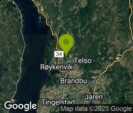
Innlandet - Gran - Brandbu
(Data fra flightlog.org - statistikk siste flyture)
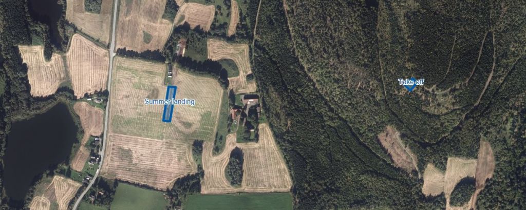
TAKE-OFF
Minimum certification: PP2/SP2
Max altitude (TMA): 1067 m.a.s.l.
Take off altitude: 460 m.a.s.l. (290 m top-to-bottom).
Orientation: SSW-W
Note: North-westerly winds may cause turbulence. To avoid unreasonable burden to local residents PP2 pilots should have an assistant at take-off in case of tree landings.
Parking: Parking for paraglider-pilots ONLY! Leave a note in your car with "Paraglider" on it. Don't block the road with parked cars.
Road toll: Pay the road toll at each passage: 50 NOK with Vipps to 913 36 060. The combination for the lock at the barrier is 10446.
Unpacking: Please unpack your glider along the small road to avoid obstructing other pilots at take-off.
Airspace boxes: None above take off (see map).
Radio frequency HP/NLF: 154.175 MHz
LANDING
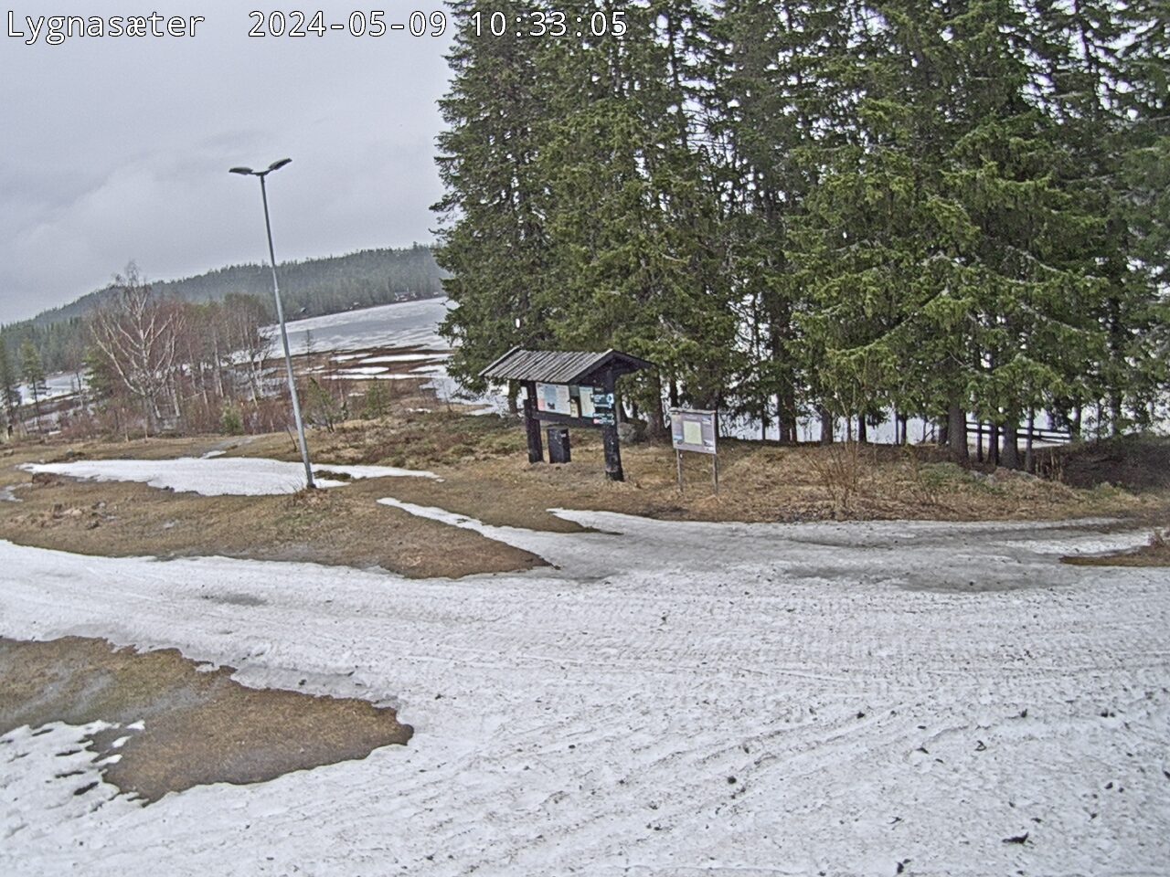
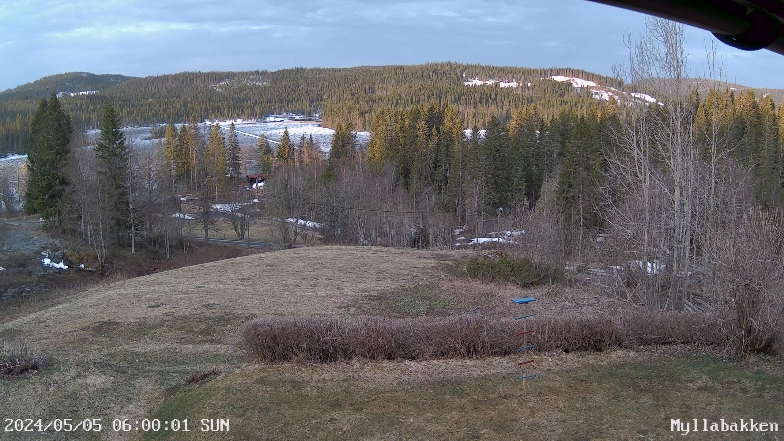
Landing: During the growing season landings are limited to the designated area (see photo below).
Note: Trees along the road creates turbulence in high winds. Keep distance. South-easterly winds may cause turbulence over the landing field. Tree landings are often observed by the local residents. If no assistance is required please cancel emergency services immediately.
Parking: Park the cars according to the landowner signs.
Driving: Please drive very slowly across the farmyard.
The road is closed in the winter season.
Packing: Leave the landing field quickly. Pack your glider in front of the barn.
For more information about this flying site please contact Terje Nilsen on teni@9tek.no or 95975698.
460 meters asl Høydeforskjell 300 meters
Kjenner du til denne spotten og har lyst å hjelpe Vindnå.no med oppdatert informasjon, sende inn dine endringsforslag her.