logo Vind Nå Kom igang Kontakt info Innstillinger Del

Brønnøysund, A Hovedstart Ramntinden paragliding spot

ØSVVNV

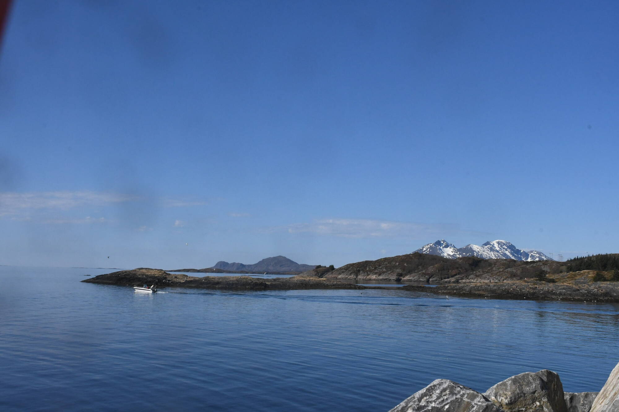
Nordland - Brønnøy - Brønnøysund
(Data fra flightlog.org - statistikk siste flyture)

Se FaceBook Brønnøysund Paragliding eller ta kontakt med Jan Inge Nilsen. Draggfare i sterk vind, start derfor så langt ned mot hanget, som mulig, ved sterk vind. Ellers nydelig start.

215-323m, flere starer. 323 meters asl Høydeforskjell 300 meters

Kjenner du til denne spotten og har lyst å hjelpe Vindnå.no med oppdatert informasjon, sende inn dine endringsforslag her.

Kart

Værvarsel fra yr.no

 12:00  13:00  14:00  15:00  16:00  17:00  18:00  19:00  20:00  21:00  22:00  23:00  00:00  01:00  02:00  03:00  04:00  05:00  06:00  07:00 
yr.no
nedbør0.20.10.20.50.60.30.60.20.20.20.20.20.20.10.100000
m/s 64.843.14.24.95.463.73.23.64.13.44.43.93.73.63.43.22.7
V
(253)
SV
(241)
SV
(238)
SV
(208)
SV
(218)
SV
(233)
SV
(228)
V
(250)
SV
(238)
SV
(234)
SV
(231)
SV
(230)
SV
(226)
SV
(230)
SV
(231)
SV
(227)
SV
(223)
SV
(215)
SV
(210)
S
(201)
C10.710.910.910.910.910.910.710.510.410.310.310.310.210.310.110.210.210.210.310.6

Live værdata Brønnøysund 8.6 km unna.

 12:20  12:10  12:00  11:50  11:40  11:30  11:20  11:10  11:00  10:50  10:40  10:30  10:20  10:10  10:00  09:00  08:00  07:00  06:00  05:00  04:00  03:00 
m/s 7.97.37.38.17.18.39.27.98.78.48.29.87.65.86.35.67.177.36.96.56.4
max 11.610.910.111.410.112.114.112.212.714.413.413.514.38.49.18.610.310.21110.49.69.5
SV
(243)
V
(250)
V
(252)
SV
(247)
SV
(245)
SV
(247)
V
(252)
SV
(246)
SV
(243)
SV
(244)
SV
(243)
SV
(237)
SV
(209)
SV
(204)
SV
(203)
SV
(205)
SV
(230)
SV
(231)
SV
(238)
SV
(247)
SV
(230)
SV
(222)

Live værdata BRØNNØYSUND LUFTHAVN 8.6 km unna.

 12:20  12:10  12:00  11:50  11:40  11:30  11:20  11:10  11:00  10:50  10:40  10:30  10:20  10:10  10:00  09:00  08:00  07:00  06:00  05:00  04:00  03:00 
m/s 5.95.95.66.15.46.876.86.85.978.17.55.96.56.25.55.35.54.94.75.3
max 9.79.58.49.38.610.210.510.59.79.811.311.59.88.498.48.288.37.66.97.5
SV
(233)
SV
(235)
SV
(233)
SV
(232)
SV
(230)
SV
(237)
SV
(235)
SV
(231)
SV
(235)
SV
(229)
SV
(228)
SV
(220)
SV
(211)
SV
(214)
SV
(212)
SV
(211)
SV
(227)
SV
(224)
SV
(230)
SV
(231)
SV
(223)
SV
(221)
C12.712.612.312.512.31211.911.911.81212.211.811.611.611.611.411.311.311.311.511.511.6

Live værdata Igerøy 20.7 km unna.

 12:20  12:10  12:00  11:50  11:40  11:30  11:20  11:10  11:00  10:50  10:40  10:30  10:20  10:10  10:00  09:00  08:00  07:00  06:00  05:00  04:00  03:00 
m/s 2.22.35.96.18.55.44.26.68.189.56.26.97.67.977.56.13.91.72.34.6
max 43.97.69.99.466.29.410.18.39.596.99.59.19.39.17.453.43.65.5
V
(249)
SV
(238)
SV
(242)
SV
(244)
SV
(238)
V
(249)
SV
(237)
SV
(239)
SV
(237)
SV
(226)
SV
(215)
SV
(236)
SV
(217)
SV
(205)
SV
(207)
SV
(213)
SV
(212)
SV
(215)
SV
(243)
V
(253)
SV
(224)
SV
(210)

Live værdata Fv 17 Våg 28.9 km unna.

 12:10  12:00  11:50  11:40  11:30  11:20  11:10  11:00  10:50  10:40  10:30  10:20  10:10  10:00  09:00  08:00  07:00  06:00  05:00  04:00  03:00 
m/s 4.23.843.84.43.83.23.83.83.73.83.34.44.54.45.24.93.93.63.83
max 4.23.944.34.43.83.64.23.83.93.84.34.94.54.75.54.94.13.84.13.4
SV
(206)
SV
(204)
SV
(210)
SV
(205)
SV
(210)
SV
(207)
S
(200)
S
(202)
SV
(206)
SV
(204)
SV
(207)
SV
(223)
SV
(233)
SV
(228)
SV
(236)
SV
(236)
SV
(238)
SV
(231)
SV
(218)
SV
(219)
SV
(229)
C11.611.511.511.311.211.111.1111110.910.910.810.810.811.21111.311.411.511.511.5

Webkamera Vega 2 20.6 km unna. (norskluftambulanse.no)

Webkamera Vega 1 20.6 km unna. (norskluftambulanse.no)

Webkamera Vega 3 20.6 km unna. (norskluftambulanse.no)