logo Vind Nå Kom igang Kontakt info Innstillinger

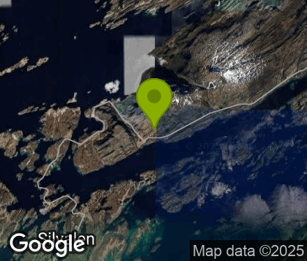
Dønna, Teigstadvannet. øst paragliding spot

ØS

Nordland - Dønna -
(Data fra flightlog.org - statistikk siste flyture)

Lite platå med passelig plass til en vinge, bratt start med høyspent nedenfor som må vurderes før start.
Denne starten er ganske lav og krever en del vind!!
Den fineste landingen får man nede ved havet.
Ta hensyn til høyspent og luftspenn i god tid før landing.
Åker med høyt gress eller beitende dyr er i utgangspunktet ikke landingsplass.

Small starting area, but place enough to lay out your glider. Steep start with the power grid below. This is a low-altitude and wind-demanding start!!
The best landings (and wind) is close to the ocean.
Plan the landing well and avoid powergrids at all cost.
Newly cut fields without livestock is to be concidered landing area if neccesary.

200 meters asl Høydeforskjell 190 meters

Kjenner du til denne spotten og har lyst å hjelpe Vindnå.no med oppdatert informasjon, sende inn dine endringsforslag her.

Værvarsel fra yr.no

 09:00  10:00  11:00  12:00  13:00  14:00  15:00  16:00  17:00  18:00  19:00  20:00  21:00  22:00  23:00  00:00  01:00  02:00  03:00  04:00 
yr.no
nedbør0.20000000000000000000
m/s 8.27.963.37.58.28.69.28.27.26.66.76.76.16.46.56.46.87.46.5
V
(286)
N
(1)
N
(349)
N
(343)
N
(10)
N
(5)
N
(8)
N
(15)
N
(18)
N
(20)
N
(18)
N
(18)
N
(18)

(25)

(26)

(30)

(31)

(34)

(34)

(43)
C5.73.53.63.53.23.22.81.91.51.310.70.40-0.2-0.4-0.6-0.8-1-1.4

Live værdata SANDNESSJØEN LH - STOKKA 8.7 km unna.

 09:00  08:00  07:00  06:00  05:00  04:00  03:00  02:00  01:00  00:00 
m/s 4.45.87.310.811.612.712.610.310.58.9
max 9.911.914.415.116.116.716.515.214.713.5
NV
(295)
V
(249)
SV
(232)
SV
(221)
SV
(222)
SV
(220)
SV
(220)
SV
(216)
SV
(218)
SV
(215)
C4.967.37.67.67.67.67.47.57.5

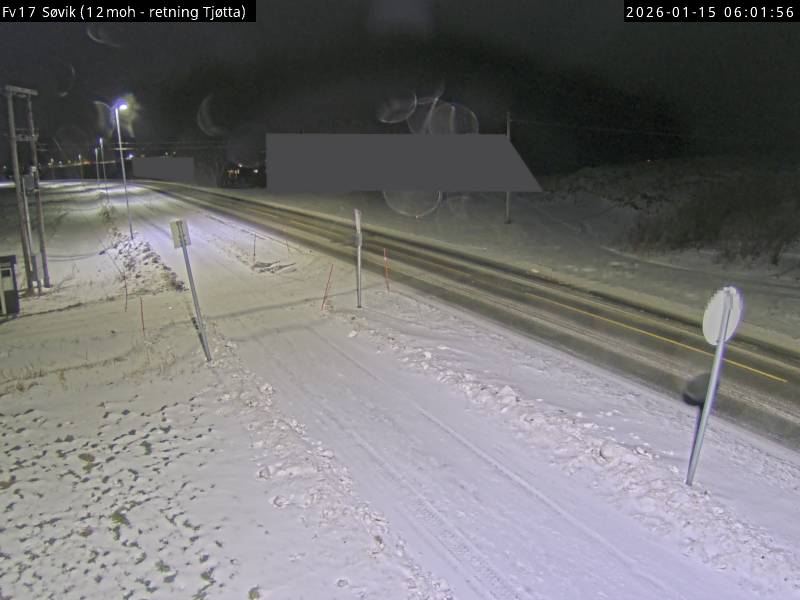
Live værdata Søvik 11.8 km unna.

 09:10  09:00  08:50  08:40  08:30  08:20  08:10  08:00  07:50  07:40  07:30  07:20  07:10  07:00  06:00  05:00  04:00  03:00  02:00  01:00  00:00 
m/s 6.75.27.86.38.4611.17.68.613.112.512.29.412.28.79.711.31110.48.58.9
max 8.16.77.86.496.211.19.58.613.113.613.59.612.610.812.914.214.212.410.911
NV
(312)
NV
(297)
SV
(222)
SV
(215)
SV
(211)
SV
(219)
SV
(231)
SV
(231)
SV
(205)
SV
(228)
SV
(230)
SV
(231)
SV
(209)
SV
(218)
S
(195)
S
(192)
S
(194)
S
(197)
S
(192)
S
(191)
S
(193)

Live værdata TJØTTA 22.5 km unna.

 09:00  08:00  07:00  06:00  05:00  04:00  03:00  02:00  01:00  00:00 
m/s 4.45.27.47.68.88.78.47.87.77.1
max 8.610.712.412.412.912.513.111.711.211.6
SV
(238)
V
(263)
V
(253)
SV
(244)
SV
(244)
SV
(236)
SV
(227)
SV
(231)
SV
(227)
SV
(228)
C5.96.37.27.67.87.77.77.87.97.8

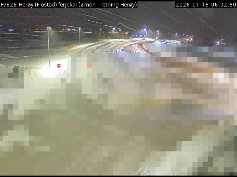
Webkamera Silvalen 6.9 km unna. (www.heroy-no.kommune.no)