logo Vind Nå Kom igang Kontakt info Innstillinger

Rindfjellet, Namdalseid(Sjøåsen) paragliding spot

NVNV

Trøndelag - Namsos - Namdalseid
(Data fra flightlog.org - statistikk siste flyture)

Ta av mot brattlia gård og kjør opp til første hogstfelt, fin parkering der. Ingen sti som er fin opp så d er bare å prøve seg fram. Fint å starte så fort e'n er over tregrensen. Ingen avtalt landing så land i ett tre :)

400 meters asl Høydeforskjell 400 meters

Kjenner du til denne spotten og har lyst å hjelpe Vindnå.no med oppdatert informasjon, sende inn dine endringsforslag her.

Kart

Værvarsel fra yr.no

 14:00  15:00  16:00  17:00  18:00  19:00  20:00  21:00  22:00  23:00  00:00  01:00  02:00  03:00  04:00  05:00  06:00  07:00  08:00  09:00 
yr.no
nedbør000000000000000000.600
m/s 4.94.64.95.44.83.83.63.53.33.85.26.46.76.26.15.75.66.56.36
SV
(246)
SV
(237)
SV
(230)
SV
(231)
SV
(232)
SV
(230)
SV
(232)
SV
(227)
SV
(222)
SV
(225)
SV
(233)
SV
(228)
SV
(217)
SV
(204)
SV
(203)
SV
(206)
SV
(219)
SV
(230)
V
(264)
V
(262)
C10.91110.810.18.87.35.64.23.43.43.94.64.85.15.354.44.53.83.7

Live værdata Jektheia 4.0 km unna.

 14:20  14:10  14:00  13:50  13:40  13:30  13:20  13:10  13:00  12:50  12:40  12:30  12:20  12:10  12:00  11:00  10:00  09:00  08:00  07:00  06:00  05:00 
m/s 16.114.414.415.815.312.215.313.617.21515.314.716.114.214.413.513.313.613.81313.613.6
max 18.316.918.119.418.915.620.616.920.317.518.918.320.816.917.816.316.116.616.916.11716.9
SV
(247)
SV
(243)
SV
(243)
SV
(247)
SV
(240)
SV
(244)
SV
(239)
SV
(241)
SV
(244)
SV
(244)
SV
(247)
SV
(244)
V
(248)
V
(254)
SV
(245)
V
(248)
SV
(245)
SV
(241)
SV
(236)
SV
(238)
SV
(241)
SV
(245)
C8.28.28.2887.77.77.77.57.57.27.27.27.26.76.466.16.26.26.46.4

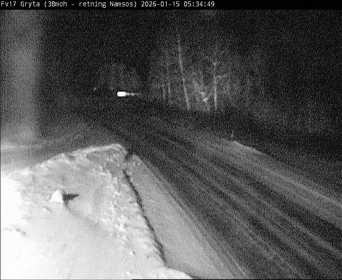
Live værdata Fv 17 Gryta 5.5 km unna.

 14:10  14:00  13:50  13:40  13:30  13:20  13:10  13:00  12:50  12:40  12:30  12:20  12:10  12:00  11:00  10:00  09:00  08:00  07:00  06:00  05:00 
m/s 2.3221.92.72.62.52.43.12.82.12.33.13.23.42.72.432.32.12.3
max 4.84.2545.86.65.45.99.96.64.25.98.89.38.66.166.55.75.15.5
V
(267)
V
(259)
V
(248)
V
(253)
V
(255)
SV
(243)
SV
(247)
V
(254)
V
(259)
V
(258)
V
(257)
SV
(246)
SV
(245)
V
(248)
V
(252)
SV
(246)
V
(250)
SV
(245)
SV
(236)
SV
(222)
SV
(211)
C12.712.512.512.412.111.411.210.810.710.810.710.510.410.410.110.110.210.410.2109.9

Live værdata Namsos 22.3 km unna.

 14:20  14:10  14:00  13:50  13:40  13:30  13:20  13:10  13:00  12:50  12:40  12:30  12:20  12:10  12:00  11:00  10:00  09:00  08:00  07:00  06:00  05:00 
m/s 6.15.95.55.55.55.35.54.26.16.55.75.66.27.26.86.25.96.366.53.53.8
max 77.37.76.66.97.17.75.77.78.48.37.28.198.497.98.37.78.35.25.8
V
(259)
V
(258)
V
(266)
V
(261)
V
(261)
V
(258)
V
(263)
V
(272)
V
(273)
V
(267)
V
(277)
V
(274)
V
(273)
V
(270)
V
(266)
V
(277)
V
(272)
V
(255)
V
(248)
V
(254)
V
(275)
V
(278)

Live værdata NAMSOS LUFTHAVN 25.3 km unna.

 14:20  14:10  14:00  13:50  13:40  13:30  13:20  13:10  13:00  12:50  12:40  12:30  12:20  12:10  12:00  11:00  10:00  09:00  08:00  07:00  06:00  05:00 
m/s 65.36.35.64.85.35.86.86.45.96.66.37.57.67.66.36.77.16.25.75.56.6
SV
(234)
SV
(238)
SV
(230)
SV
(238)
SV
(234)
V
(248)
V
(251)
V
(252)
V
(249)
SV
(245)
SV
(247)
SV
(243)
SV
(241)
SV
(237)
SV
(233)
SV
(237)
SV
(244)
SV
(242)
SV
(246)
V
(249)
SV
(246)
SV
(240)

Live værdata E6 Kvam 29.8 km unna.

 14:20  14:10  13:50  13:40  13:30  13:20  13:10  13:00  12:50  12:40  12:30  12:20  12:10  12:00  11:00  10:00  09:00  08:00  07:00  06:00  05:00 
m/s 4.44.74.85.85.85.85.664.33.75.25.44.34.83.94.12.52.52.62.32.3
max 8.79.99.311.110.811.99.511.19.17.49.89.98.17.66.45.743.53.83.73.5
S
(193)
S
(201)
SV
(209)
SV
(207)
SV
(206)
SV
(203)
S
(200)
SV
(205)
SV
(206)
SV
(204)
SV
(205)
SV
(212)
SV
(206)
S
(202)
S
(192)
S
(192)
SV
(205)
S
(198)
S
(199)
SV
(217)
SV
(220)
C13.413.51312.812.812.612.912.212.112.312.11212.111.410.59.28.58.38.68.38.4

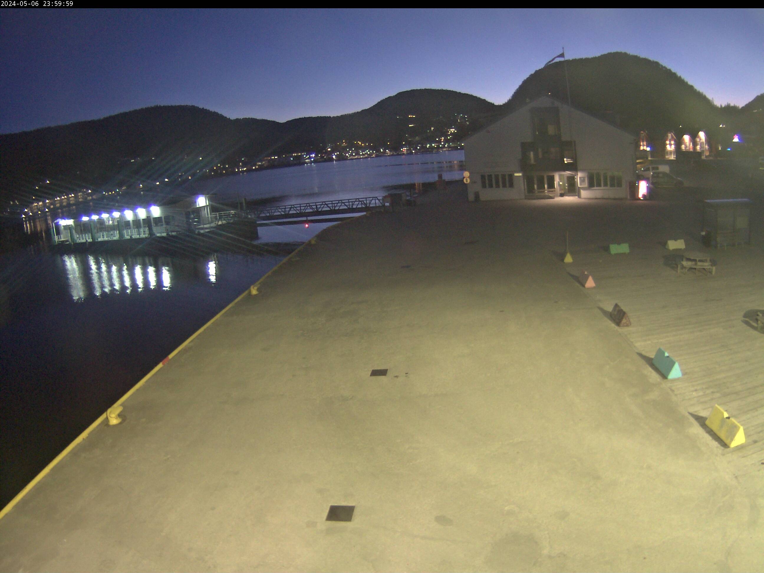
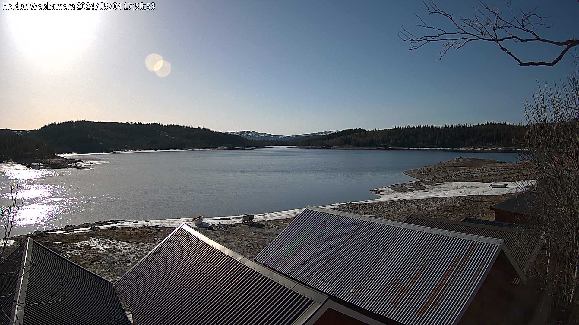
Webkamera Namdalseid 1 7.1 km unna. (norskluftambulanse.no)

Webkamera Namdalseid 2 7.1 km unna. (norskluftambulanse.no)