logo Vind Nå Kom igang Kontakt info Innstillinger

Bærum, Solfjellstua paragliding spot

SSV

Viken - Bærum - Skui
(Data fra flightlog.org - statistikk siste flyture)

TAKE OFF
Min. certification: PP3/SP3
Max. altitude (TMA): 914 m.a.s.l.
Take off altitude: 315 m.a.s.l. (170 m top-to-bottom).
Orientation: SSE-SV
Note: The shallow slope and steep cliff edge requires good wing control and adequate running speed. Be prepared for a strong vertical drag when you pull up the wing in high winds. Be careful when you lay out the wing on the rocks in the rear part of the take-off. The lines might tangle and break when you pull up the wing.
This is a popular flying site. Pay attention and be aware of the traffic rules.
Airspace boxes: None above take off.
Radio frequency HP/NLF: 154.175 MHz

LANDING
Landing: Please use the main landing field see the photo below (marked in red).
Note: Keep as close to the small road as possible in the growing season.

Expect some turbulence in the landing area in high winds.
Parking: Don’t block the narrow road (Busoppveien) with parked cars.

314 meters asl Høydeforskjell 170 meters

Kjenner du til denne spotten og har lyst å hjelpe Vindnå.no med oppdatert informasjon, sende inn dine endringsforslag her.

Bilde fra flightlog.org.

Kart

Værvarsel fra yr.no

 15:00  16:00  17:00  18:00  19:00  20:00  21:00  22:00  23:00  00:00  01:00  02:00  03:00  04:00  05:00  06:00  07:00  08:00  09:00  10:00 
yr.no
nedbør00000000000000000000
m/s 2.43.32.92.11.81.30.812.22.32.21.51.41.8221.71.21.41.6

(134)
Ø
(80)

(56)
Ø
(88)

(127)

(126)
N
(11)
N
(350)

(42)

(39)
N
(22)
N
(15)
NV
(322)
N
(342)
N
(350)
N
(341)
NV
(303)
N
(348)

(52)
Ø
(102)
C13.112.710.510.49.99.27.46.365.23.82.821.410.71.53.24.76.1

Live værdata OPK Solfjellstua 352 meter unna.

 15:50  15:40  15:30  15:20  15:10  15:00  14:50  14:40  14:30  14:20  14:10  14:00  13:50  13:40  13:30  13:20  13:10  13:00  12:00  11:00  10:00  09:00  08:00  07:00  06:00 
m/s 1.92.22.51.71.40.60.81.11.91.71.91.41.71.12.53.62.81.932.11.81.211.41.7
max 3.63.95.33.12.21.41.92.23.12.53.12.23.62.23.94.753.34.13.52.91.91.62.42.9
N
(14)
Ø
(68)

(60)

(55)

(35)

(30)

(25)

(127)

(127)
Ø
(89)

(123)

(140)

(118)

(144)

(152)
S
(169)
S
(180)
S
(168)

(156)

(140)

(127)

(121)
Ø
(79)
Ø
(73)

(52)
C10.510.210.511.21211.711.511.712.511.21211.211.211.712.51212.711.710.99.48.67.65.75.75.7

Live værdata HAMANG-BÆRUM-18 5.4 km unna.

 12:00  10:00  08:00  06:00 
m/s 1.80.90.91.4
max 3.61.71.42.4

(128)

(127)

(53)

(47)
C10.38.47.36.1

Live værdata HAMANG-BÆRUM-22 5.5 km unna.

 13:40  13:30  13:20  13:10  11:00  09:00  07:00 
m/s 10.81.61.41.41.10.6
max 2.32.12.73.32.92.31.1
S
(167)

(135)

(134)

(131)

(147)

(147)
N
(359)
C12.612.311.712.310.28.77.6

Live værdata Vierndroget 9.8 km unna.

 15:50  15:40  15:30  15:20  15:10  15:00  14:50  14:40  14:30  14:20  14:00  13:50  13:40  13:30  13:20  13:10  13:00  12:00  11:00  10:00  09:00  08:00  07:00  06:00 
m/s 1.41.40.81.11.70.81.41.10.81.10.81.11.11.11.41.41.11.51.71.10.90.60.50.4
max 3.62.81.92.52.82.23.12.51.73.12.52.52.22.53.12.52.52.93.42.11.91.31.30.9

(123)

(133)

(121)

(138)
S
(159)

(149)
S
(158)

(156)

(135)

(129)

(146)

(131)

(138)

(139)

(129)

(125)

(136)

(132)

(150)

(142)

(142)

(129)

(116)

(67)
C13.91413.814.114.314.914.814.814.714.314.214.114.113.813.413.313.412.411.19.698.17.77.5

Live værdata Rolfstangen LBK 11.2 km unna.

 15:50  15:40  15:30  15:20  15:10  15:00  14:50  14:40  14:30  14:20  14:10  14:00  13:50  13:40  13:30  13:20  13:10  13:00  12:00  11:00  10:00  09:00  08:00  07:00  06:00 
m/s 55.35.84.71.42.83.13.32.81.40.81.71.41.42.22.82.52.83.92.62.93.82.82.52.7
max 5.86.16.45.82.53.93.63.93.12.21.12.21.91.92.83.62.83.64.83.33.74.53.633.5
Ø
(94)
Ø
(102)
Ø
(95)
Ø
(80)
S
(172)
S
(189)
SV
(234)
S
(195)
S
(191)

(152)

(154)

(141)

(131)

(118)

(140)

(153)

(123)

(122)

(139)

(115)

(134)

(142)
Ø
(112)
Ø
(74)

(65)
C11.311.210.811.211.712.211.812.312.312.813.512.31313.11211.211.711.110.1108.98.17.97.88.1

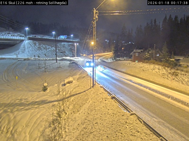
Webkamera Haslumseter 5.9 km unna. (webcam.haslumseter.no)