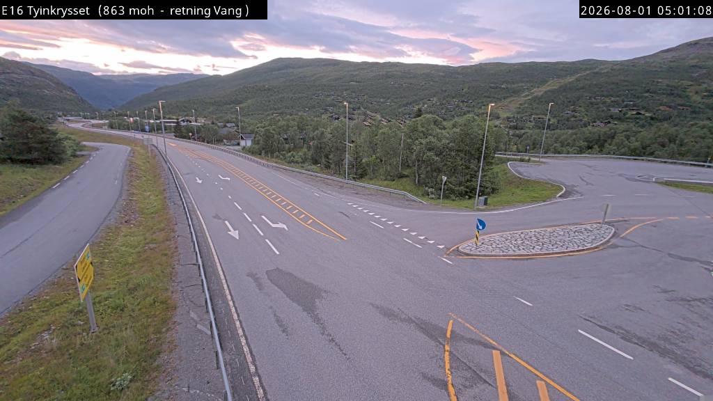
Innlandet - Vang - Tyinkrysset (Vegvesen)
Innlandet - Vang - Tyinkrysset (Vegvesen)
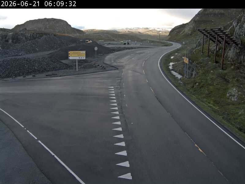
Webkamera Tyinkrysset › nord 1.7 km unna. (www.yr.no)
Webkamera Laerdal › nord-vest 1.7 km unna. (www.yr.no)
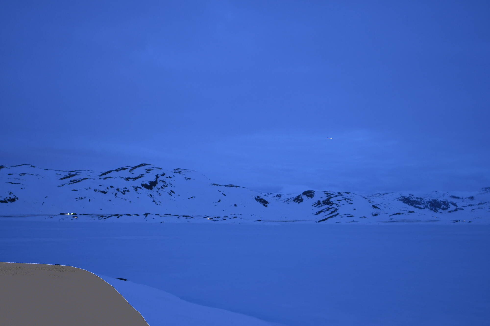
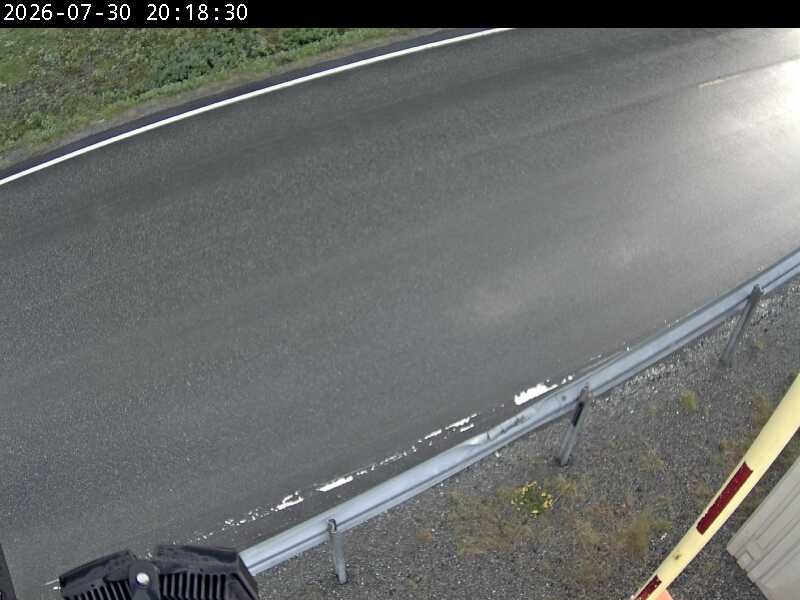
Webkamera Tyinkrysset › sør 2.3 km unna. (www.yr.no)
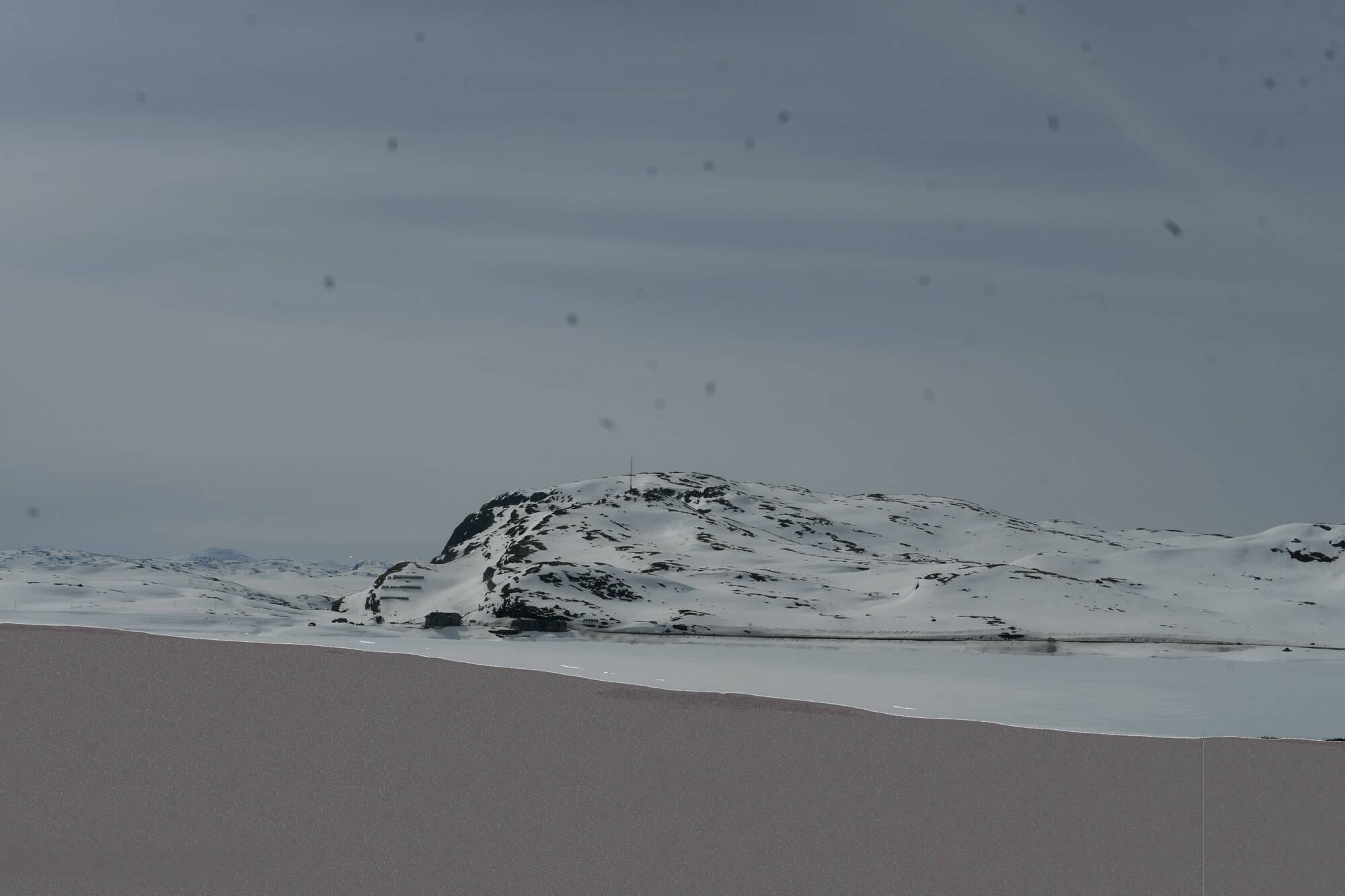
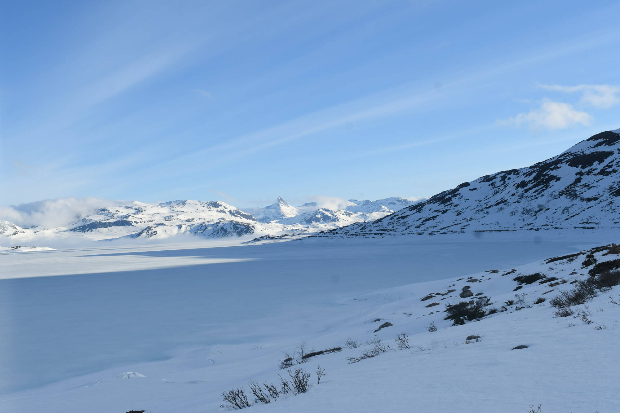
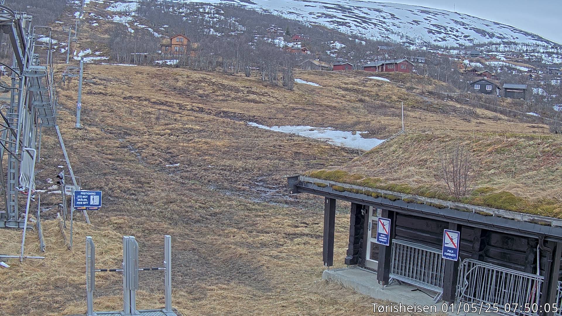
Webkamera Filefjell - Tørrisheisen 3.3 km unna. (www.tyinfilefjell.no)
Webkamera Filefjell - Børrenøsheisen 4.7 km unna. (www.tyinfilefjell.no)
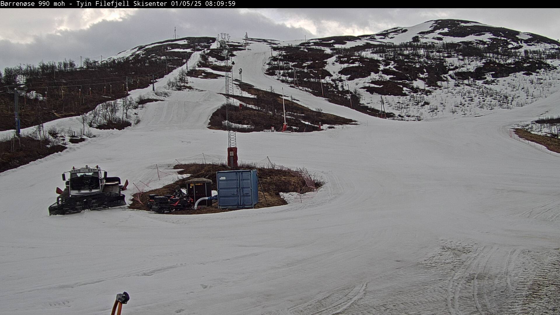
Webkamera Filefjell - Topp Børenøset 5.2 km unna. (tyinfilefjell.no)
| 03:20 | 03:10 | 03:00 | 02:50 | 02:40 | 02:30 | 02:20 | 02:10 | 02:00 | 01:50 | 01:40 | 01:30 | 01:20 | 01:10 | 00:00 | 23:00 | 22:00 | 21:00 | 20:00 | 19:00 | 18:00 | |
| m/s | 2.7 | 3.1 | 1.8 | 2.7 | 3.1 | 3.6 | 3.6 | 2.2 | 2.7 | 3.1 | 1.8 | 2.7 | 2.7 | 1.8 | 2.2 | 2.1 | 2.2 | 3.3 | 3.4 | 5 | 4.6 |
| SV (204) | SV (218) | S (202) | SV (212) | SV (214) | SV (225) | SV (219) | SV (217) | SV (223) | SV (219) | SV (221) | SV (215) | SV (207) | SV (221) | SV (209) | SV (233) | V (289) | NV (329) | N (355) | NV (310) | NV (298) | |
| C | 15.6 | 15.6 | 15.6 | 15.6 | 16.1 | 16.1 | 16.1 | 16.1 | 16.1 | 16.7 | 16.7 | 16.1 | 16.1 | 16.1 | 16.7 | 17.5 | 18.7 | 19.2 | 20 | 21 | 22.4 |
| 03:20 | 03:10 | 03:00 | 02:50 | 02:40 | 02:30 | 02:20 | 02:10 | 02:00 | 01:50 | 01:40 | 01:30 | 01:20 | 01:10 | 01:00 | 00:00 | 23:00 | 22:00 | 21:00 | 20:00 | 19:00 | 18:00 | |
| m/s | 0.4 | 0 | 0.9 | 0 | 0 | 0 | 0 | 0 | 0.4 | 0 | 0.4 | 0.4 | 0 | 0 | 0 | 0 | 0 | 0.1 | 0.2 | 0.5 | 0.1 | 0.2 |
| S (197) | S (197) | S (197) | S (201) | S (201) | N (0) | N (0) | N (353) | NV (325) | NV (331) | N (343) | N (341) | |||||||||||
| C | 14.4 | 15 | 15 | 15 | 15 | 15 | 15 | 15.6 | 15.6 | 15.6 | 15.6 | 15.6 | 15.6 | 15.6 | 15.6 | 15.1 | 15.7 | 17.5 | 20.1 | 21.1 | 22.4 | 24.1 |
| 03:10 | 03:00 | 02:50 | 02:40 | 02:30 | 01:50 | 01:40 | 01:30 | 01:20 | 01:10 | 00:00 | 23:00 | 22:00 | 21:00 | 20:00 | 19:00 | 18:00 | |
| m/s | |||||||||||||||||
| max | 3.8 | 3.3 | 3.1 | 2.8 | 2.9 | 2.7 | 3 | 2.8 | 3.3 | 3.2 | 2.1 | 1.8 | 2.8 | 3.5 | 4.5 | 5.5 | 5.2 |
| N (0) | N (0) | N (0) | N (0) | N (0) | N (0) | N (0) | |||||||||||
| C | 12.9 | 13.7 | 13.5 | 13.7 | 14.2 | 14.2 | 13.8 | 13 | 14 | 13.7 | 13.9 | 14.3 | 16.7 | 18.1 | 19.6 | 20.4 | 21.1 |
| 03:20 | 03:10 | 03:00 | 02:50 | 02:40 | 02:30 | 02:20 | 02:10 | 02:00 | 01:50 | 01:40 | 01:30 | 01:20 | 01:10 | 01:00 | 00:00 | 23:00 | 22:00 | 21:00 | 20:00 | 19:00 | 18:00 | |
| m/s | 2.7 | 2.7 | 1.8 | 2.7 | 1.8 | 1.8 | 1.8 | 1.8 | 1.3 | 1.3 | 1.8 | 1.3 | 1.8 | 1.8 | 1.3 | 1.5 | 1.1 | 1.8 | 0.9 | 2.8 | 3.4 | 3.7 |
| SV (232) | SV (229) | SV (231) | SV (227) | SV (245) | SV (238) | SV (234) | SV (242) | V (267) | SV (246) | V (251) | SV (241) | V (266) | V (248) | V (251) | V (248) | V (255) | V (250) | V (252) | V (250) | SV (231) | SV (234) | |
| C | 12.8 | 13.3 | 13.9 | 13.3 | 12.8 | 13.3 | 13.3 | 13.9 | 13.9 | 13.9 | 13.9 | 13.9 | 13.9 | 13.9 | 13.9 | 14.6 | 15.6 | 16.8 | 18.1 | 19.3 | 21 | 21.2 |